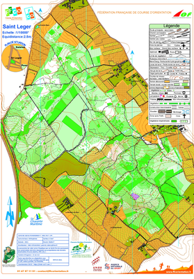


St Leger Pons
| Numéro : 2021-D17-174 | Carte : 1 |
| Spécialité : CO à pied | Niveau : Départemental |
| Échelle : 1/10000 | Surface : 3,26 km² |
| Cartographes : robin p | |
| Commune la plus proche : St Leger Pons | |
| Propriétaire : 1705 - CHARENTE-MARITIME ORIENTATION | |
| Comment et où obtenir la carte. Responsable à contacter :
- robin P, beurlay, +33781029023, , site web |
|