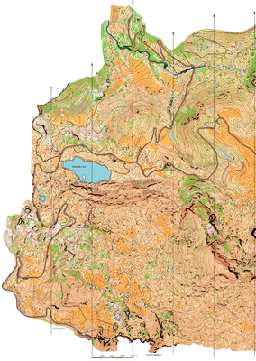


L' ETANG DE LERS
| Numéro : 2012-D09-014 | Carte : 1 |
| Spécialité : CO à pied | Niveau : National, International |
| Échelle : 1/10000 | Surface : 7,83 km² |
| Cartographes : Ray HULSE | |
| Commune la plus proche : LE PORT | |
| Parcours permanents : | |
| Nombre de balises : 50 | |
| Propriétaire : 3105 - TOAC ORIENTATION | |
| Comment et où obtenir la carte. Responsable à contacter :
- TOAC Orientation , |
|